


National Park Maps
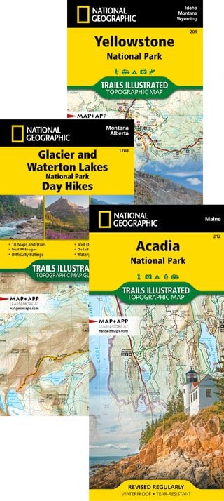
The best park maps... period
Thoroughly researched and vetted by park managers for complete and accurate trails and facilities.
Learn more...
The best park maps... period
Thoroughly researched and vetted by park managers for complete and accurate trails and facilities.
Learn more...
Explore all 63 U.S. National Parks in one place.
Find NPS links, maps, and key facts for every park, organized for quick browsing.
Learn more...
NatGeo Maps evolves the topo map for extreme and casual adventures, culminating in the Day Hikes series.

Avoid the masses-but not the epic adventures-at these breathtaking under-the-radar desert landscapes around Moab.

National Geographic cartographers fill a key map gap on the North American Continental Divide and pay tribute to the Father of American Mapmaking.
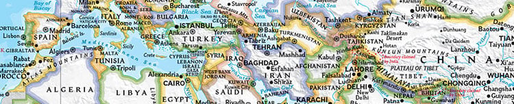
Founded in 1915 as the Map Department of the National Geographic Society, National Geographic Maps is responsible for illustrating the world around us through the art and science of mapmaking.
Today, National Geographic Maps continues this mission by creating the world's best wall maps, outdoor recreation maps, travel maps, atlases, and globes that inspire people to understand and explore their world.
Our team of cartographers, editors, producers, and business people is located in Evergreen, Colorado. Our maps are designed and printed in the United States.
Learn More >